


Tropical Cyclone Alfred is becoming less likely to make landfall on the Queensland coast after it briefly intensified to a category four.
Alfred briefly strengthened to a category four overnight but has since been downgraded back to a category three.
It is sitting about 750km north-east of Mackay and producing wind gusts of 220km/h in the centre of the system.
Alfred is forecast to continue moving south over the Coral Sea at 9km/h – or jogging pace, the Bureau of Meteorology said.
It is expected to be downgraded to a category two on Saturday, moving south-west towards the Queensland coast before turning south-east on Sunday and tracking parallel to the state’s Capricornia coast, well away from land.
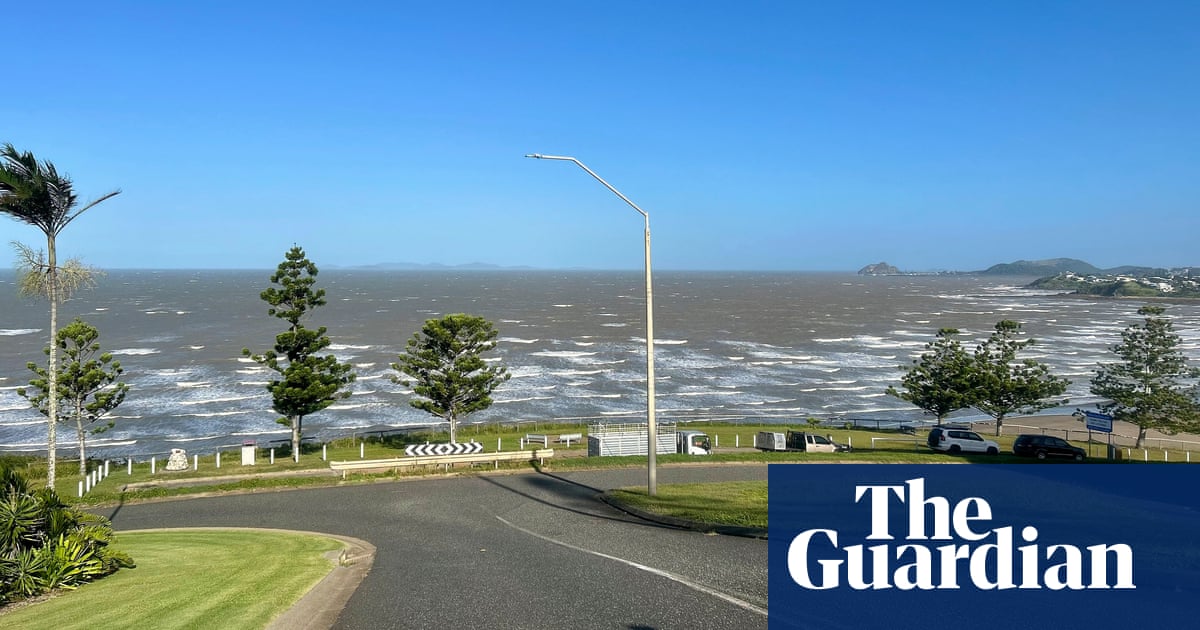
Alfred is creating hazardous coastal conditions from Townsville south to K’Gari Island, sparking warnings for gale force winds on the Great Barrier Reef and strong wind warnings for the Queensland coast.
There is also a hazardous surf warning for the Queensland coast between Yeppoon to Hervey Bay with the cyclone causing windy foreshores and powerful swells up to three metres.
These conditions will extend to the Sunshine and Gold coasts on the weekend.
Showers will also become more frequent along the coast as Alfred draws closer but the bureau is not forecasting significant rainfall.
The bureau has increasing confidence Alfred will remain offshore next week with landfall looking less likely.
“It will become slow moving over the open water and, even in the middle of next week, it is still forecast to be a category two system, but well off the south-east Queensland coast,” meteorologist Jonathan How said.
“There is still a range of possibilities with regards to its exact movement and just how close it will come to the coast, and this will depend on a number of factors, including how the cycle interacts with other systems in our region.”
